Saturday August 7 Exciting developments near Saul Junction
Yesterday, we motored back from Slimbridge to use the services at Saul Junction, plus stock up at Gloucester Tesco’s and B&Q.
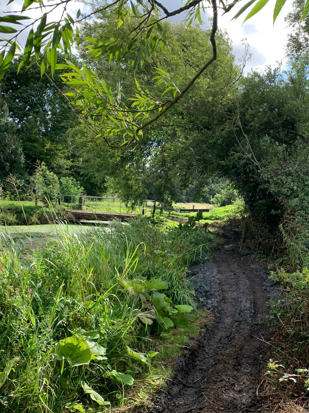
This morning, we walked Honeypie along the Stroudwater Canal from Saul Junction, past the marina to Walk Bridge. Gloucester County Council have not started replacing this with a higher, navigable bridge yet. However, we noticed signs of restoration the other day , near Whitminster Lock. Two containers (one a wc?) and a huge skip have been placed there. It looks like clay from the skip has been moved by mini digger and maybe a dumper truck across the lock bridge to clear the formerly overgrown bank and build the clay base to build up the bank and possibly make a towpath on the west side of the canal! They have completed about 100 metres so far.


They have cut some grass near the lock, which will soon be joined to the river 30 metres away (which itself uses the old canal route at this point), so the Stroudwater will become a river navigation along this short section.

Not only this, but 400 metres further on, they have cut the grass on the river bank both sides by what will become the junction of river with canal, once they dig out the soil (where Honeypie is below) which blocks the line of the old canal straight on towards the A38 roundabout, which now has its bit of canal ready through the middle.


The small map extract is from the excellent “The Stroudwater Canal & Thames and Severn Canal Towpath Map” from Darien-Jones Publishing, available from Cotswold Canal Trust etc.
We returned to watch the last Olympic day, one or two boat jobs and read.
No comments:
Post a Comment